The Low Road
@swanky_coffee@greenhill.cafe@customcoffeedundalk@thebikestationcoffeedock@caferocksalt@strandfieldThe flattest ride on the site: 80 km with only 271 m of climbing, low across the Louth plain.
Highlights
- Long but flat, with only 271 m of climbing in 80 km
- Coffee at Strandfield, Ballymascanlon, on the way out and back
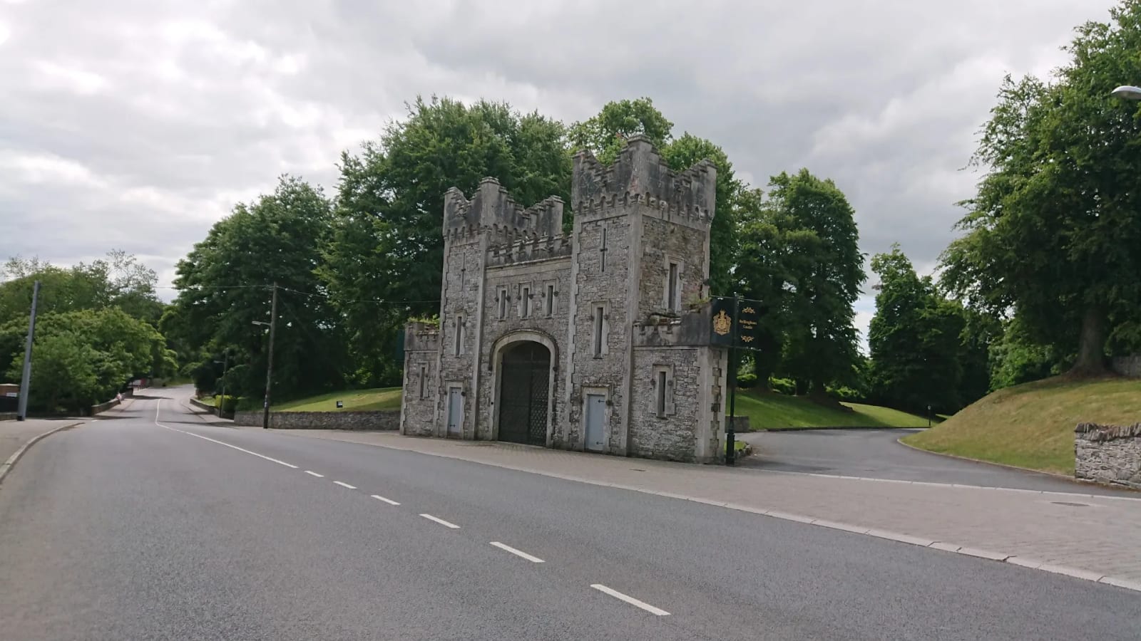
- Passes the gate lodge of Bellingham Castle in Castlebellingham
This is the flattest ride on the site: 80 km with only 271 m of climbing. Once it leaves Fords Cross it stays low, across the Louth plain, through Dundalk and down the coast road to Castlebellingham and Dunleer, with barely a hill all day. It’s a good one for an easy long ride or winter miles.
The loop heads south-east past Kilcurry to Dundalk, and turns for home at Dunleer. Stats are measured directly from the GPX track.
On the Route
Everything within 1 km of the route, in the order you reach it.
Coffee Stops
- Swanky Coffee (Silverbridge, 0.9 km off the route) — Coffee shop in Silverbridge, a short spin from Fords Cross where several of our routes start. Open Tuesday to Friday 8am–4:30pm, Saturday and Sunday 10am–4:30pm.
- The Greenhill Café (Newry, on the route) — Café at Silverbridge Harps' grounds, opened in 2025: coffee and food. Open Monday to Friday 7:30am–7pm, Saturday and Sunday 9am–5pm.
- Custom Coffee (Maxol service station, on the route) — Coffee, açaí bowls, iced drinks, savoury bites, treats and ice cream, at a handy fuel stop on the way out of Dundalk.
- The Bike Station Coffee Dock (Dundalk, on the route) — Coffee and ice cream on the quay in Dundalk, from the people behind The Bike Station bike shop.
- Rocksalt Café (Blackrock, on the route) — Specialty coffee and a menu with a twist, right on the seafront at Blackrock, with sister cafés around Dundalk. They also run a fit-meals range, a food truck and catering.
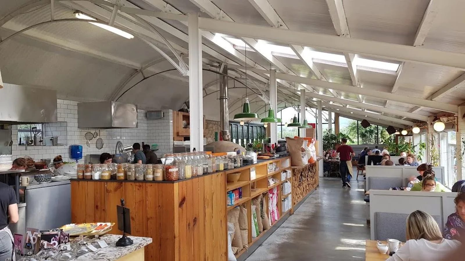
- Strandfield (Dundalk, on the route) — Café, florist and grocer in the farmyard of Strandfield House. Vegetarian and vegan menu, with breakfast, lunch, pizzas and bakes. Open 8am–6pm every day, kitchen until 5pm.
GPX
Download GPX · Open it on Komoot
Done This Route?
Tag @cyclesoutharmagh on Instagram, our Facebook page or Strava and we'll share the best photos. Or give it a ♥ at the top of the page.
Last checked 2026-10-17