The Ring Dyke
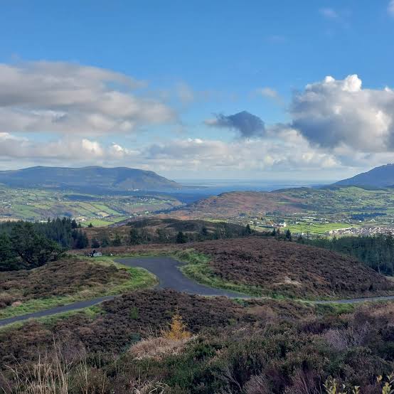
@dr.brewcoffeebar@cafemonabri@onepercent_cafeBallard and Camlough Mountain are part of the Ring of Gullion's ring dyke, the rim of hills left by an ancient volcano around Slieve Gullion. This ride climbs along it.
🚵 Not for a road bike: parts of this ride are off-road tracks, so bring a gravel bike.
Highlights
- Climbs both Ballard and Camlough Mountain (423 m), major markers of the Ring of Gullion's ring dyke
- Ballard Road links the trails of Slieve Gullion to those of Camlough Mountain and Camlough Lake
- Crosses 400-million-year-old granodiorite on Camlough Mountain, far older than Slieve Gullion's 60-million-year-old volcanic rock
Slieve Gullion sits inside a near-perfect circle of low hills, the Ring of Gullion. Geologists call it a ring dyke: about 60 million years ago an ancient volcano collapsed, and molten rock pushed up through the ring-shaped cracks around its edge, hardening into the rim of hills you see today. This ride climbs along part of that ring, over Ballard and Camlough Mountain.
A climbing loop from Mullaghbawn. Stats are measured directly from the GPX track.
Ballard and Camlough Mountain (423 m) are major geographic markers in the Ring of Gullion National Landscape (AONB) in County Armagh. Historically linked by ancient roads and agricultural boundaries, they represent a geologically distinct section of the ring dyke system.
Ballard sits on the lower northern slopes of the Slieve Gullion complex, directly facing Camlough Mountain across a valley. The two are bound by Ballard Road, a quiet country road used by local hikers, runners and cyclists to connect the trails of Slieve Gullion to those of Camlough Mountain and Camlough Lake.
While Slieve Gullion is composed of younger, 60-million-year-old volcanic rocks, the granodiorite forming Camlough Mountain is roughly 400 million years old — left behind from the closure of the ancient Iapetus Ocean.
Photos From the Ride
On the Route
Everything within 1 km of the route, in the order you reach it.
Coffee Stops
- Dr Brew (Camlough, 0.5 km off the route) — Drive-up/walk-up specialty coffee bar, est. 2020. Mon–Fri 8am–4pm, Sat–Sun 9am–3pm. Food hygiene rating 5.
- Café Mon Abri (Camlough, on the route) — Specialty coffee in the heart of Camlough, made by skilled baristas, in a warm, welcoming space to sit and unwind. Cakes and treats, and dog friendly.
- 1% (Mullaghbawn, on the route) — New café in Mullaghbawn serving matcha, coffee and food. Opened October 2026.
See
- Ballykeel Dolmen (on the route) — A Neolithic portal tomb, its huge capstone balanced on three stones at the end of a long cairn, right beside The Ring Dyke and The Poets' Trail
- Killevy Old Churches (0.2 km off the route) — Two joined medieval churches under the mountain
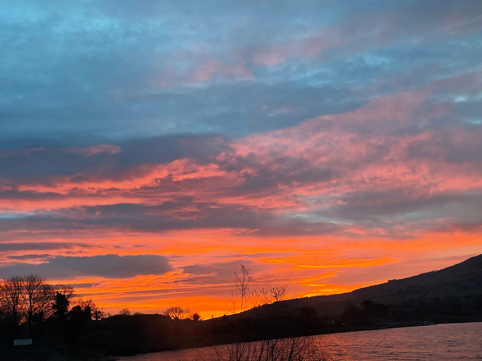
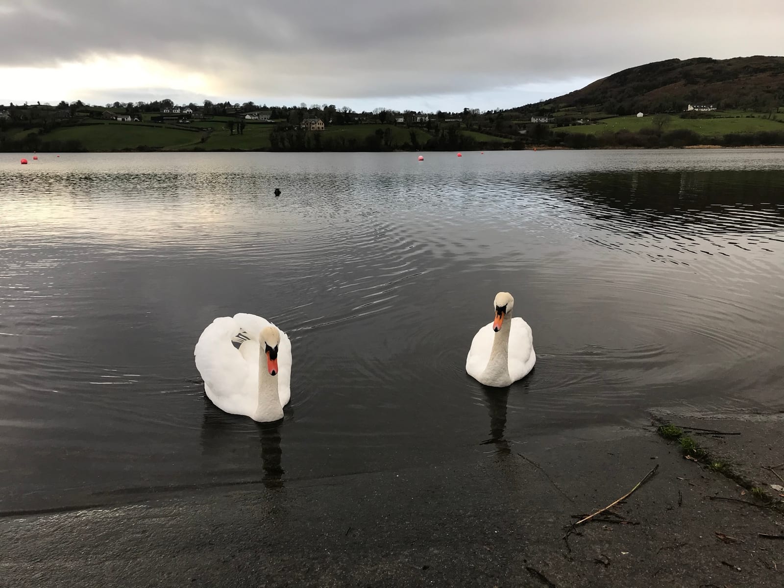
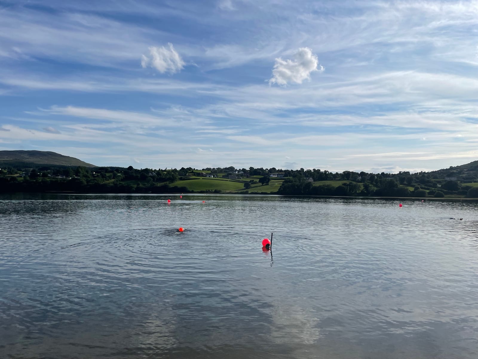
- Camlough Lake (on the route) — The narrow "crooked lake" the village is named after
Pubs
- The Yellow Heifer (Camlough, on the route) — Gastropub in the middle of Camlough serving breakfast, brunch and dinner, with an early bird menu. Open Thursday to Sunday from 11am.
GPX
Download GPX · Open it on Komoot
Done This Route?
Tag @cyclesoutharmagh on Instagram, our Facebook page or Strava and we'll share the best photos. Or give it a ♥ at the top of the page.
Last checked 2026-10-13